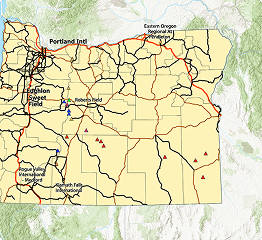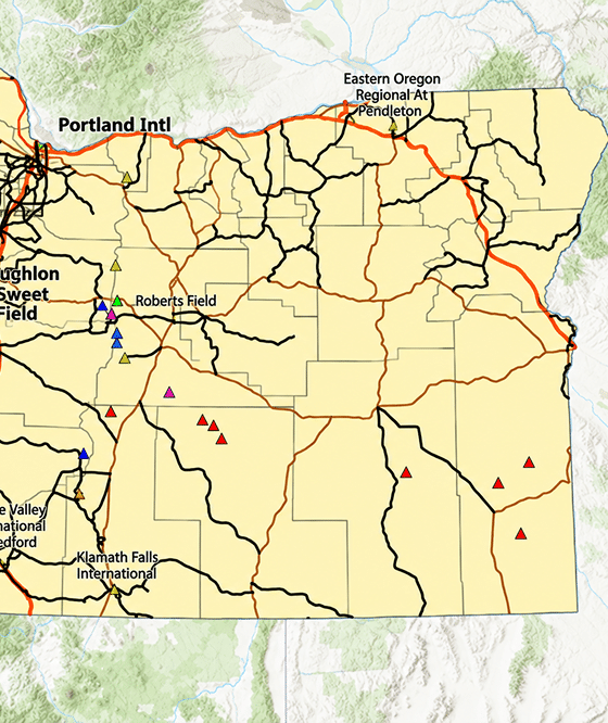

Turning spatial data into clear maps and decisions, using ArcGIS Pro, GPS and remote sensing.
SELECTED WORK:GIS Chapter LabsNYC Energy & Climate Stations
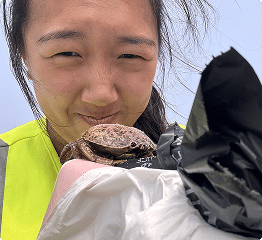
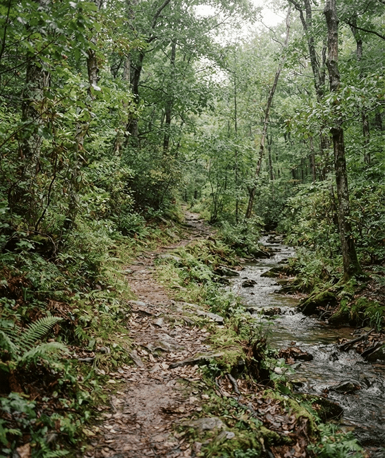
Water quality sampling, stream habitat surveys, ecological monitoring and trail mapping.
SELECTED WORK:Field StudiesBeach Profiles
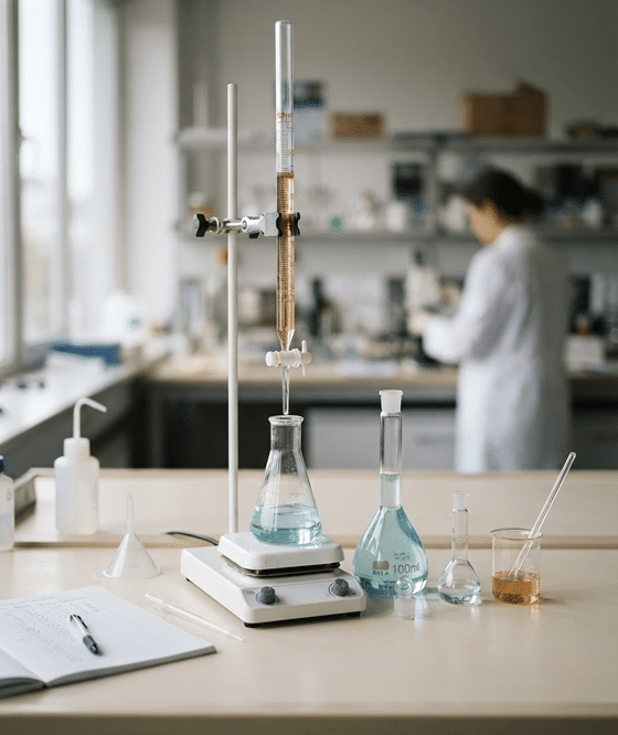
Organic, analytical and computational chemistry, including spectroscopy, titration and DFT.
SELECTED WORK:Diels–AlderWittig
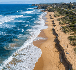
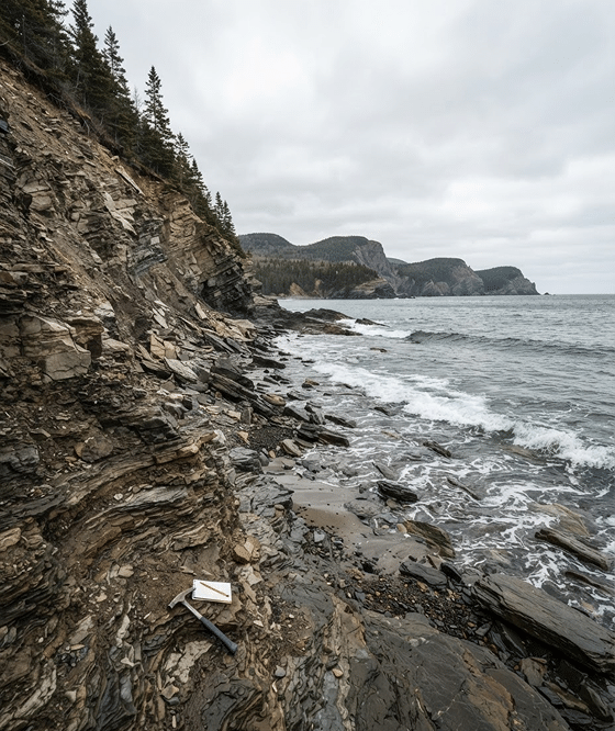
Sediment transport, shoreline change, coastal erosion and mineralogy.
SELECTED WORK:Flume ExperimentsSeawall Beach
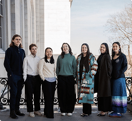
Supporting Wabanaki education, language and legislation; multi-state policy research.
SELECTED WORK:Fellowship ReportMulti-State Research
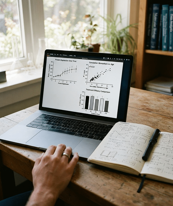
R and Python analysis, data visualization, and technical communication.
SELECTED WORK:R Data VisualizationRoad Salt & Chloride